Member Spotlight: Jay Riester
We've brought back the Member Spotlight series so we can all get to know each other better. Do you know a WLIA colleague that you think people should know? Let us know at communications@wlia.org and send us their contact information. We may not get to everyone, but we'll try!
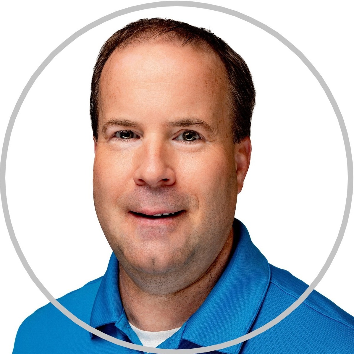 Introducing Jay Riester, a seasoned geospatial professional who, as of next month, will be celebrating 18 years as a Senior GPS/GIS Application Specialist at Seiler Geospatial. Jay dedicates much of his time to connecting with people and sharing his technical expertise in the geospatial industry through conferences and events. If you've had the chance to attend any of Jay’s presentations at the WLIA, you know he is a natural teacher with a deep passion for all things geospatial. Some people live and breathe geography, and Jay certainly embodies that spirit. Take the opportunity to learn a bit more about Jay—you might even pick up a few valuable travel tips along the way.
How did you come to your current profession or job?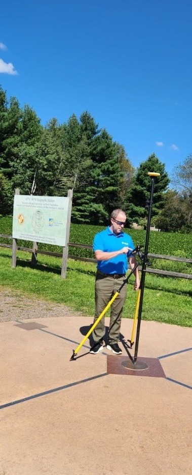
I did GPS data collection field-work from 1996 to 2006 throughout the USA with several companies.
I was a customer of Seiler Instrument between 2005 and 2006 while living in St Louis, MO. I then applied for the Mapping Tech Support role in late 2006 and started in early 2007 through today. The Mapping and Survey departments rebranded as Seiler Geospatial in December 2021.
What’s your most favorite part and least favorite part of your job?
My favorite part of my job would be two parts. Teaching people with different Geospatial backgrounds a common goal of collecting good GNSS Data. Also, traveling and meeting new people throughout the USA in the Geospatial industry.
Least favorite part of my job: Filling out Travel Expense Reports 🙁
What’s the best advice someone has ever given you?
“Don’t sweat the small stuff as there are bigger obstacles ahead”. Also, live for today as tomorrow is not Promised.
Other than WLIA events (obviously 😉) do you have any other conferences or groups across the US that you’re fond of visiting for work? Why there?
I am fond of two state GIS conferences besides WLIA of course 😉 where I have given presentations and Seiler Geospatial has had a booth at. In Michigan: “MiCAMP is in early Fall and is at Boyne Mtn, MI. Great Fall scenery and a golf scramble event that Seiler Geospatial helps sponsor is the morning of the start of the conference. There is another conference in Iowa that I have attended, and we have a booth at. It is in late Spring in Des Moines, IA named “ITAG” and this is their state “GIS/IT” combined conference. I have made some good friendships with those that attend this conference. We plan events before and or after the conference that include golfing and or going to the Iowa Speedway to watch a few races.
Of course, I like going to both the Esri UC and the Esri BP conference. What I like about the Esri BPC “Business Partner Conference” is that it’s a smaller version of the Esri UC and has a scenic backdrop in Palm Springs, CA. If you ever get to visit Palm Springs, CA, enjoy some golf, tennis and good food in the desert. Also be sure to take at least half a day and ride up on the Palm Springs Aerial Tramway. Give yourself a few hours to hike around Mt San Jacinto which overlooks the city. Bring layers because it is a bit cooler at that elevation and there can be snow depending on the season. There is a restaurant at the Tramway station at the top too that overlooks the valley.
What do you like to do for fun? (Hobbies, volunteer work, etc.)
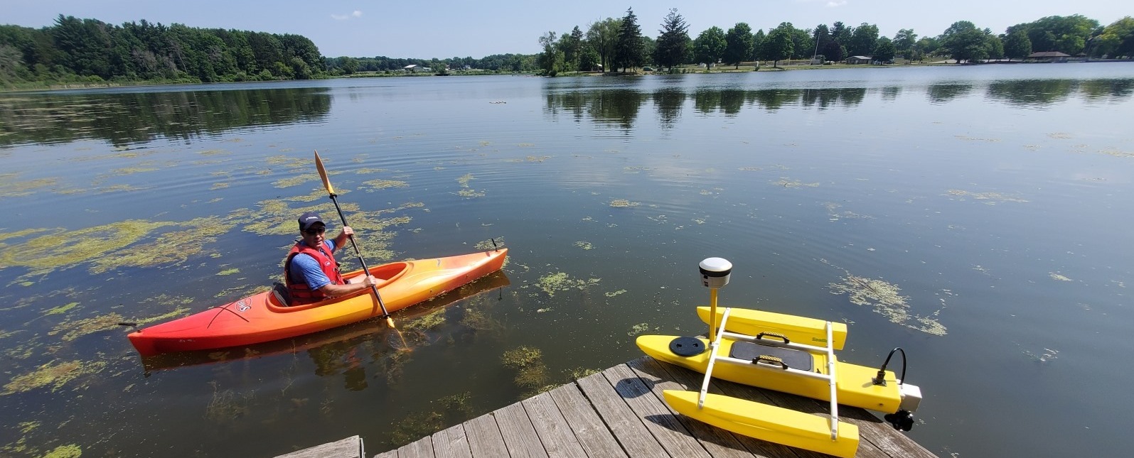
Hiking, camping, kayaking, landscaping and exploring cities and partaking in their food and beverages.
Very cool! What kind of landscaping do you do and what do you like about landscaping?
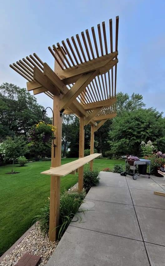
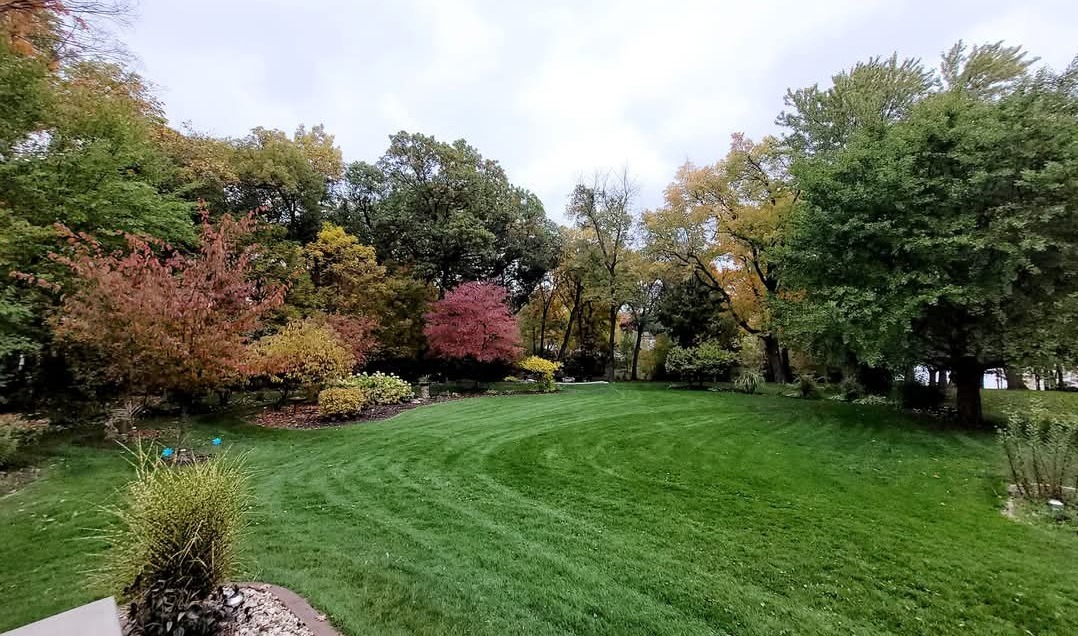
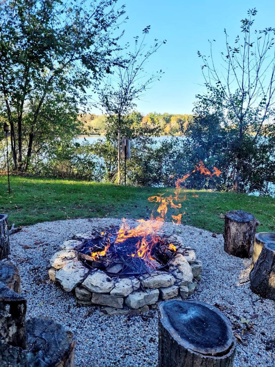
Building planting beds, firepit and trail. Maintaining them is the long-term workout. I joke, this is why I do not have a gym membership. My yard is my workout zone 😊
What’s something most people wouldn’t guess about you?
I grew up in Southeastern WI – Town of Delafield – Waukesha County. I loved all the activities that the “Lake Country” provided: boating, fishing, skiing year-round, camping and hiking in the Southern Kettle Moraine and County Parks. I still remember the Looooooong address assigned to our house W/N, had a Waukesha zip code and a Wales phone number. All the little things that you had to learn in elementary school and still use in our everyday Geospatial jobs.
Fun fact, my dad was a Supervisor on the Town of Delafield Board back in the early 1980’s. I sometimes got to tag along and be a fly on the wall in the audience. I learned about planning, development, zoning topics and if the Fire department had enough funding for a new Fire Truck or not. I got to ride in the new Fire Truck 😊 once they got!
Ah, those addresses! I’ll be looking at them for too long come January. It's awesome to hear you had early exposure to local government. Did those experiences with your dad in the Town Board influence your career path or interest in geospatial sciences at all?
In a hidden way I think that attending the Town Board meetings helped me gain an understanding of policies/procedures as to what goes into land purchasing and development. Also, what it takes to build and obtain services such as public works (roads, plowing, etc.), 911 fire/police/rescue in a rural area. I never worked in local gov’t but I work with many local gov’t staff as customers in our 9 state territory at Seiler Geospatial.
I believe that my curiosity to explore outside of my neighborhood/town/county and state is what guided me into the Geospatial field. Of course, the family trips in the station wagon with paper maps helped. The push to pursue a career in the Geospatial field was nurtured by Todd and Karen Fonstad at the University of WI Oshkosh. Todd was the Geography and Human Geography professor, and Karen was my Cartography and intro to computer-based GIS first class. Per obtaining my first job in the Geospatial industry, if anyone remembers Ted Koch, former WI State Cartographer, he assisted me in 1996 with finding my first job at Lambda Tech International in Waukesha, WI. Lambda Tech Int’l and Transmap (out East) were the 2 competing companies before Navteq and Google car for digital Mobile Mapping for State DOT road mapping projects.
Where would you most like to travel to and why?
Germany and the Alps – Explore my German roots. I have found some of my Irish roots on our 2013 trip to Ireland.
Whereabout are your family from in Ireland? Do you have any favorite places you visited while you were there?
On my mother’s side, 3 of her 4 Grandparents are from Ireland and 1 from Germany. One set was her grandfather “Ryan”, which is my mother’s maiden name, and he was from the city of Cork, County Cork. He married a “Kavanaugh” from the village of Causeway in County Kerry Ireland. Her other grandfather was a “Higgins” from Bellacaher, County Roscommon. He married a “Mosher” from Germany. I am still working on tracking down the Mosher side. Maybe a trip for an Oktoberfest in on the horizon 😊
My wife Heather and I have traveled to Ireland 2 times: 2013 and 2024. On the first trip to Ireland in 2013 we visited the village of “Causeway” and found the land that the “Kavanaugh” family once farmed. It looks like the Green rolling fields that you see on TV/print adds. Unfortunately, no original house was to be found. Surprisingly, the local Post Office also acts as a local record of deeds for the area and they were very helpful with historical land records. Fun Fact – The Kerry Dairy “Famous cream and butter” has a large facility near Causeway. You can get Kerry products here in the USA and there is a Kerry office in Beloit, WI along I-90/I-39 and in other locations throughout WI. Just another case of how things are Geospatially related between WI and Ireland. It’s got to be the “Cows”. 😊
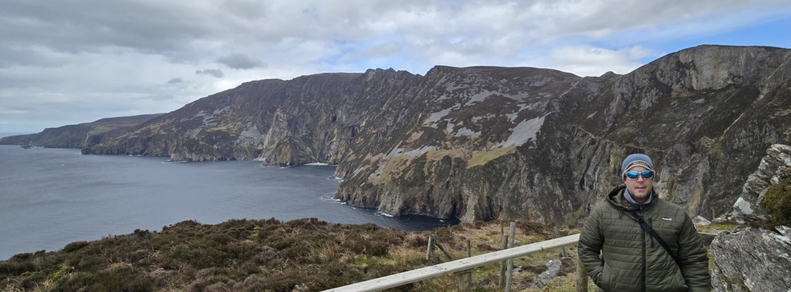
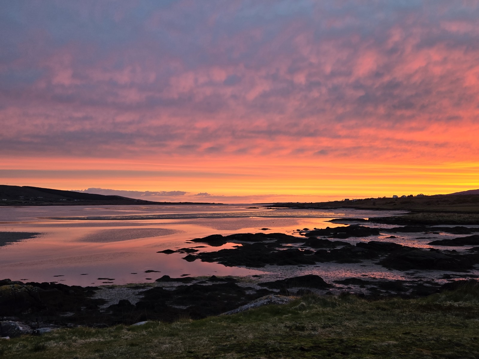
On our most recent trip back in May 2024 to Ireland, we spent 2 weeks exploring the West Coast. My favorite was the Northwestern part of Ireland where we rented a house on a small bay in County Donegal. We got to enjoy awesome Sunsets along the Atlantic Ocean and the witness the tide go in and out. It was also a very unique area because of the rugged landscape and terrain that is normally not advertised as the lush “Green” landscape with sheep roaming that we all see on TV or print ads. The roads in the rural areas have been improved and have some separate biking lanes compared to our first visit back in 2013. However, the roads are still challenging especially when you have a local in their Land Rover tailgating you 😉 on the narrow and twisty roads that you have never been on before. Side note – many rental cars have damaged left side mirrors (shrubs, stone walls) as the driver side of the car is on the right where the “center-ish” crown of the road is. This takes some getting used to. These main and rural roads are not built for 2 mid-sized American cars side by side, thus why most rentals are small cars.
Favorite 2 meals: Fish n Chips and Guiness Stew. Surprisingly. We found some hidden gems per distilleries and breweries that were not there back on trip in 2013 "Sláinte" to your health.
Fun Geography Facts about Ireland:
Ireland as it is further north than WI. Southwestern Ireland is approximately 51 degrees North. Northwestern Ireland is approximately 55 degrees North. Plan for the unexpected weather. Pack layers and or rain gear, bring your hiking boots and sunglasses.
The state of Indiana is approximately 36,400 sq miles and the Country of Ireland is approximately 32,600 sq miles (rounded) depending what source Google points you too. 😉
Explore Ireland indeed. 😊
