Spring Regional Spotlight: Next Level GIS - Making Z-axis 911 Location Technology Meaningful
The quest for faster and more accurate response times in an emergency never ends. Join us at the Spring Regional Meeting in Eau Claire on Friday, May 19th as Dan Craigie of GeoComm explains the latest.
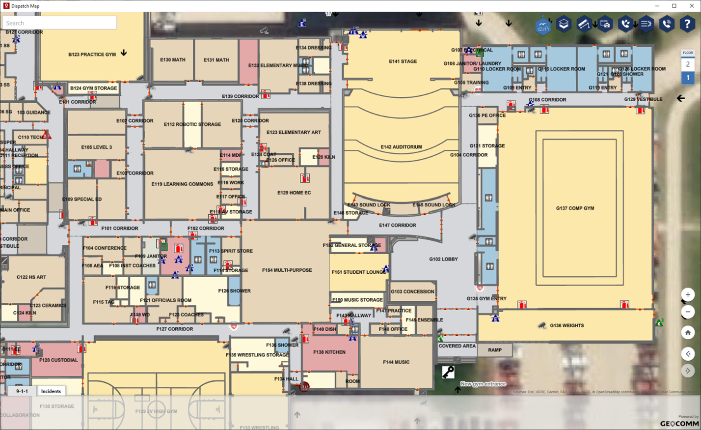
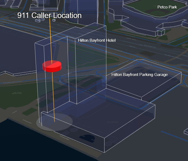
 Every second counts in during times of emergency; recent technological and regulatory advancements now allow public safety agencies to utilize vertical location information sent along with a 9-1-1 call for a more efficient emergency response. This actionable data includes building name, street address, height above the ground, and floor level. It also can provide 3D visualization of the caller’s location inside a building to a First Responder.
 By utilizing this technology, emergency response personnel will be able to better interpret and understand 9-1-1 caller data to identify, communicate, and navigate to 9-1-1 callers’ 3D location inside multistory buildings more efficiently and effectively. Equipping first responders with this life-data results in reduced emergency response times that saves property and lives.
